Kalbarri
After Shark Bay, we headed 4 hours down the coast to the town of Kalbarri (pronounced Cal (like Hal, pal) – Berry (like hairy, scary)). This town was pretty heavily damaged 9 months ago in Cyclone Seroja. There are still several buildings missing roofs and walls.
Kalbarri is located where the Murchison River meets the ocean. The town is surrounded by a national park on all sides.
Southern Coastal Cliffs
The landscape south of town along the coast is comprised of dramatic limestone cliffs.
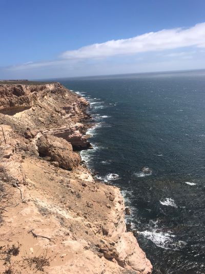
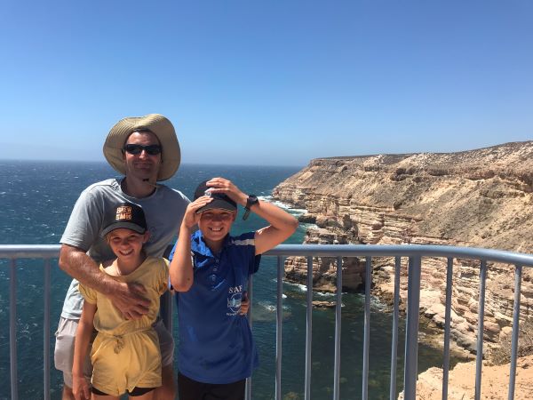
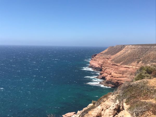

One of the main features that the Dutch explorers and Indigenous people used for navigation is the Red Bluff – a big, red limestone bluff rising from the sea. Here are some photos taken from the top of the bluff.

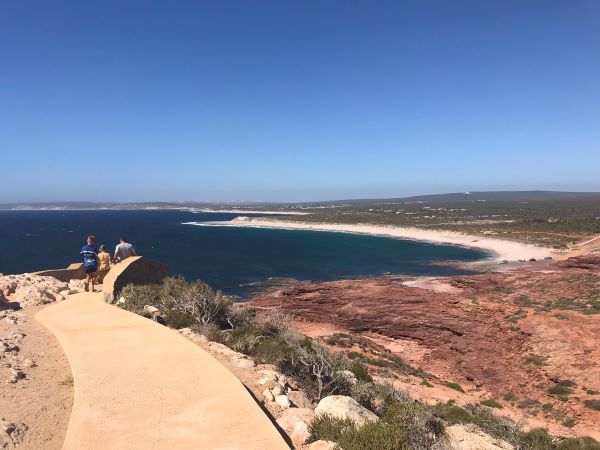
Skywalk, Nature’s Window and Z Bend
The national park to the east allows you to view and discover the gorge carved out by the Murchison River. In 2020, they built a Skywalk – two platforms jutting out over the gorge.
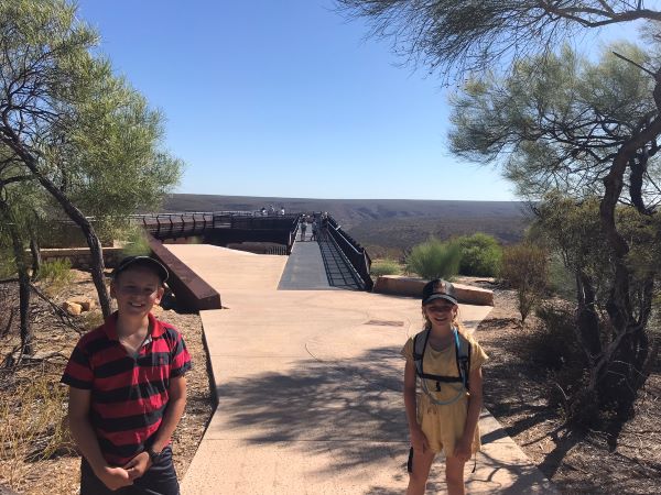
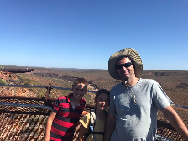
All along the pathway between the two platforms, they had sculptures of native fauna – I liked this Emu one best.

Nature’s Window is a ‘window’ created by erosion. It offers a great view of the gorge below. Unfortunately, a lot of the river was dried up when we were there.


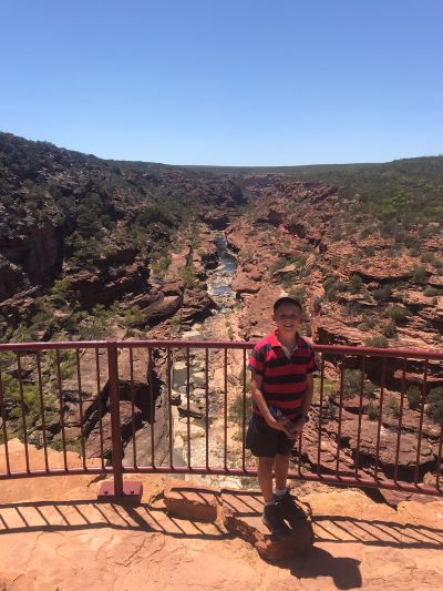
We also took a short walk to the Z bend lookout which had the most dramatic view of the gorge.
Pelican Feeding
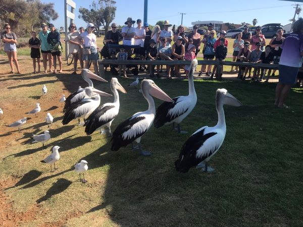
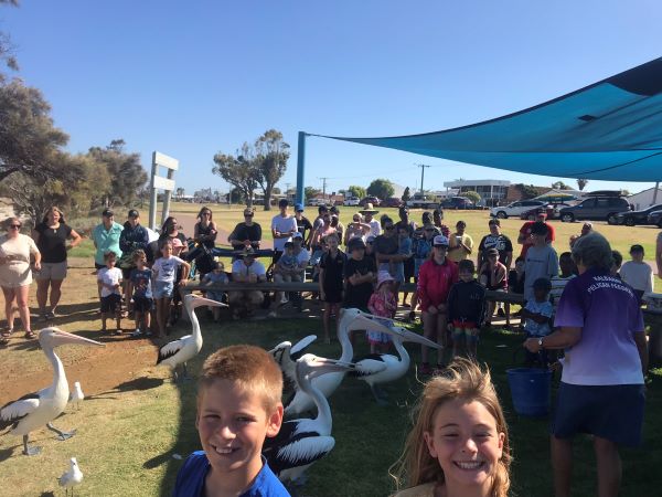
Just across the street from our caravan park was the foreshore. Each day at 8:45 am they feed the pelicans. They also give a little talk all about pelicans. On the day we went, there were 7 pelicans and lots of seagulls.

Discover more from Kids Travel World
Subscribe to get the latest posts sent to your email.

Leave a Reply